Numbers on a screen do not catch fish, but they shorten the run to water that already holds them. Florida publishes more free position data than most anglers realize, and none of it requires you to post your own waypoints on a forum in exchange for access. The trick is knowing which public sources are worth loading, how to read the formats they arrive in, and where to draw the line between shared information and the spots you keep to yourself.
Where Free Florida Fishing Coordinates Come From
Most of the free coordinate lists circulating online trace back to a handful of source types. State and county reef programs publish positions for artificial reefs and wrecks. Boating guides bundle reef names, material descriptions, and latitude and longitude onto a single page. Charter captains post a few local numbers as a courtesy to readers. Angler forums trade downloadable files. Each source carries a different level of care behind it, and that matters more than the file format it arrives in.
| Source type | What you typically get | What to watch for |
|---|---|---|
| FWC artificial reef data set | Statewide point layer of reef deployments, marked authoritative | Labeled for display only, not for navigation |
| County reef pages | Coordinates for artificial reefs and wrecks, sometimes with best times to fish | Free, occasionally on ad-supported sites |
| Boating guide reef pages | Named reefs with deployed material and position | Useful for cross-checking a reef name |
| Charter and tackle shop pages | A handful of well-known local spots described in plain language | Written by hand, not survey grade |
| Angler forums | Downloadable coordinate files shared between members | Verify independently before relying on them |
The Florida Fish and Wildlife Conservation Commission hosts an Artificial Reefs in Florida data set on its GIS portal and marks it authoritative. The summary attached to it is blunt: the data is for display purposes only and should not be used for navigation. Each point represents a single deployment event, which means the same coordinates can appear more than once if material went down on different days. The summary also notes that most reef locations have not been independently confirmed. None of that makes the data useless. It makes it a lead rather than a survey.
County-level pages fill in the gaps. Escambia County’s artificial reef resource describes a list that has grown by more than 150 coordinates of recently deployed public reefs, intended for use with on-board GPS equipment. Walton County publishes coordinates for its artificial reefs and wrecks at no cost on an ad-supported site, along with notes on the best times to fish. Pages like those are worth bookmarking because they get updated as new material is deployed.
What the Public Lists Actually Give You
The Tampa Bay boating guide reef pages show the typical shape of a good listing. A named site such as Dunedin Reef or Clearwater Reef gets an entry that describes what was deployed, whether concrete culverts, boxes and pyramids, or concrete and ovals, and then supplies a position. You get a name, a target description, and a number. That is enough to plan a drift or set an anchor before you leave the dock.
Charter and tackle shop pages look different. A Sarasota Bay fishing page labels its section as a few GPS and bearings for fishing locations and describes spots in plain language, such as large grass flats north of the New Pass sand bar that hold trout and other open water species, with drifting called out as the approach. Those entries mix navigation with local knowledge, which makes them a solid starting point and not a precise mark.

Reading a Coordinate Listing Without a Mistake
Florida reef lists usually arrive in degrees and decimal minutes, written as two number groups with north and west labels. Decimal degrees show up too, and older material may use degrees, minutes, and seconds. A position entered in the wrong format can put you miles from the structure, so check the header of the page or file before you type anything into a unit. Confirm as well whether the western longitude appears as a negative number or with a W, since a missing minus sign is one of the most common ways a reef mark ends up plotted on dry land.
Naming matters as much as numbers. Two lists can carry the same reef name with slightly different positions, and the note about duplicate coordinates for separate deployment events explains part of why. When a mark matters to you, cross-check it against a second source and label the waypoint with the source and the date you pulled it.
Loading Marks Into Your Unit or App
Enter coordinates by hand only when the list is short. For anything longer, use a download or export if the site offers one, then import into your chartplotter or phone app at home rather than on a rocking deck. Anglers on Florida fishing forums regularly point each other toward downloadable GPS fishing maps as a faster way to load a plan, and the appeal is easy to understand: fewer keystrokes and fewer transposed digits.
Before any trip, zoom out and look at the marks on a chart. A public reef position should sit near the depth and structure its description claims. If your mark lands in a channel or on a flat when the listing mentions concrete culverts, something went wrong during the transfer. Find and fix it on the couch, not in a chop.
Keeping Your Own Spots Off the Public Record
Public numbers are crowded numbers. Everything on a state or county list has been fished, often for years, so the real value of free data is the time you save getting close, not the fish you will find sitting still. Treat each public mark as the center of a circle worth exploring. Work the edges, note where the bottom changes, and build your own waypoint set from what you find out there.
The waypoints you create stay private if you keep them that way. Do not post exact numbers in public threads, even in reply to a stranger asking for help. Share a general area, a depth range, or a technique instead. Before posting photos or screenshots of your electronics, check whether the file or the screen carries location data. Back up your waypoint file somewhere other than a single device, because a dead unit should not cost you a decade of marks.
There is a middle path that keeps the culture friendly. Trade with people you trust, one to one, and bring something of your own to the exchange. A public reef coordinate costs nothing because everyone already has it. A small piece of structure you found while idling over a depth change is a different asset, and it deserves to be treated like one.
Gear That Supports a Coordinate Trip
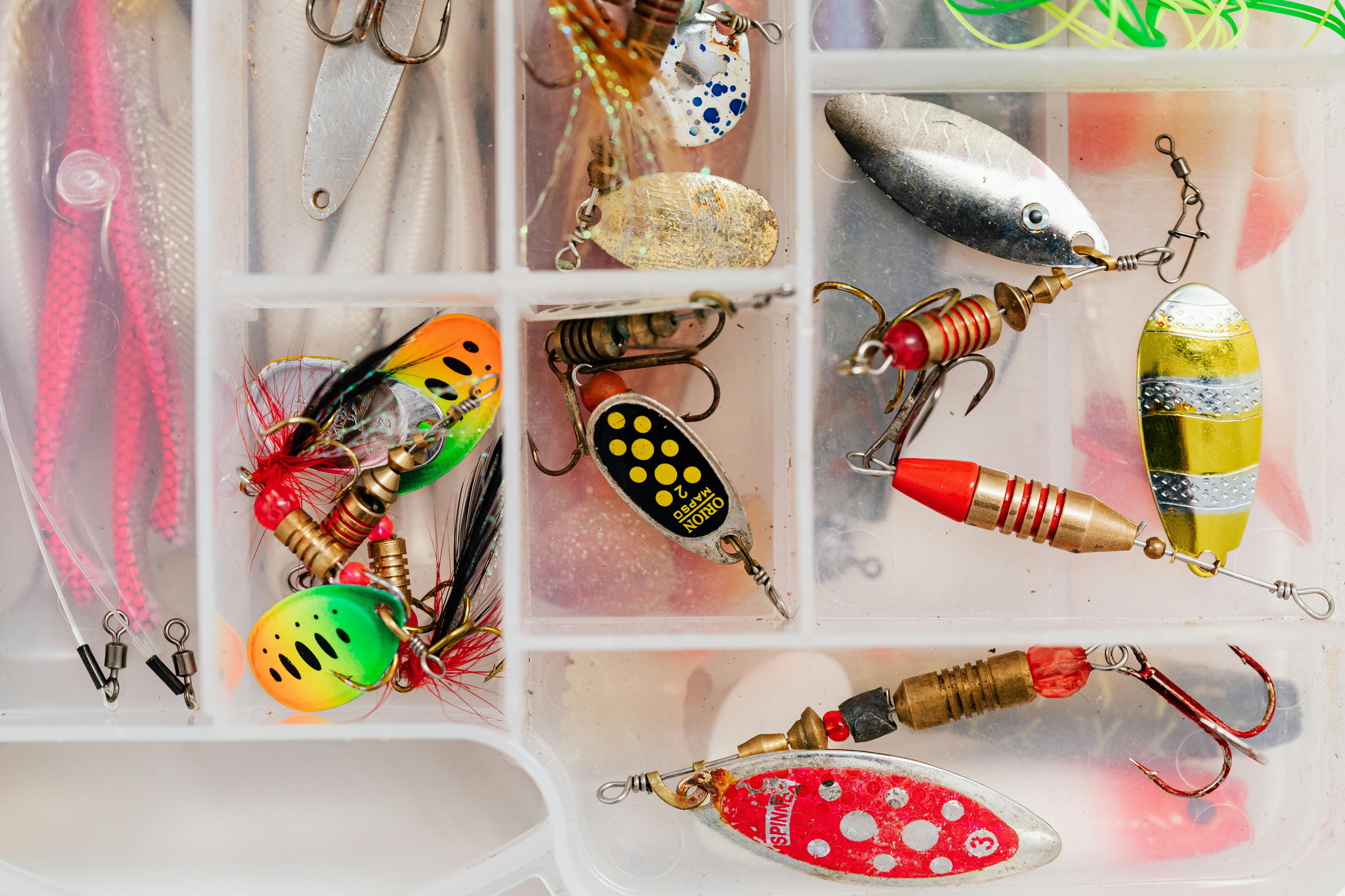
Free numbers only pay off if the boat and tackle can work the spot. A mark on a reef sets up the day, so carry a charged unit or a spare power source, a way to re-find a drift, and tackle matched to the structure you plan to fish. Grass flat marks call for lighter presentations and a quiet approach, while concrete and culvert sites call for heavier line and a plan for snags. Fish Lizard stocks rods, reels, lures, line, and boat parts if you need to fill a gap before the next run.

Verify Before You Trust
The FWC disclaimer is the right posture for every free list: display only, not for navigation. Check the mark, check the depth, and check the weather before you commit to a long run. Public coordinate lists are a shortcut to productive water, not a substitute for reading the bottom once you arrive. If a listing looks old, check a county reef page or the current state data set before you burn fuel on it.
Frequently Asked Questions
Are free Florida fishing coordinates accurate enough to fish?
They are accurate enough to get you into the neighborhood, and that is usually all a reef angler needs. The state data set is marked for display only and notes that most locations have not been independently confirmed. Plot the mark, check the depth, then work a circle around it to find the actual structure.
Where can I download Florida reef coordinates for free?
Start with the FWC artificial reef data set on the state GIS portal. County pages for Escambia and Walton publish reef and wreck coordinates at no cost, and boating guide reef pages list named sites with their positions. Charter and tackle shop pages cover a few well-known local spots as well.
How do I keep my honey hole secret while still using public data?
Use public lists freely and share only general areas in return. Do not post exact numbers in public threads, check photos and screenshots for embedded location data before posting, and keep a backup of your waypoint file on a device that stays with you. Trade private marks one to one with people you trust.
What format are Florida reef coordinates usually written in?
Most lists use degrees and decimal minutes, written as two number groups with north and west labels. Decimal degrees and degrees, minutes, and seconds also appear. Check the header of the page or file first, and confirm whether west longitude is written with a minus sign or a W.
Do I need a chartplotter to use free coordinates?
No. A phone app or handheld unit handles a short list fine, and a chartplotter mainly helps with bulk imports. Whichever you carry, verify the format before entering anything, keep a backup power source on board, and remember that public reef data is intended for display and planning rather than navigation.